“What exactly is an Esri Gold Partner?” is a question we sometimes get from clients. For us, it means that we value our relationship with Es...
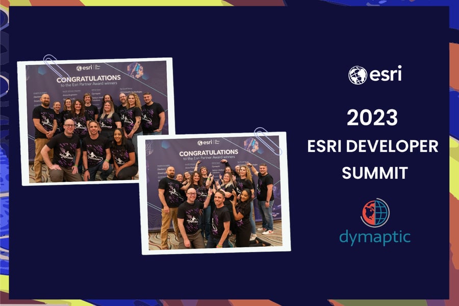
The Esri developer summit is created for developers, by developers. It's an annual event held in early March in Palm Springs, California. The design of the conference is to show you how to build cutting-edge apps using advanced mapping technology. Alongside that, it is the perfect environment to network and start conversations. The Esri developer summit brings together Esri’s developer community with opportunities to explore hours of learning in one location with both workshops and sessions.
As an individual with an interest in geography and a newfound curiosity towards the world of GIS and Esri, I was eagerly looking forward to my first attendance at this years Esri developer summit. What made the event even more exciting was that I got to meet my entire team in-person for the first time. The bonding experience we shared outside of the conference walls was just as memorable as the event itself. We went go-karting one day and mini-golfing the next, just enjoying the warm Palm Springs sun while getting to know each other better. We shared dinners and drinks every night at local hotspots, discussing everything from the intricacies of GIS mapping to our shared love of travel. It was amazing to bond with colleagues who, until then, had only been voices on the phone and faces on a Zoom call.
Attending the technical sessions and plenaries was an absolute joy. The speakers were knowledgeable and provided us with insightful information on the latest developments and technologies in the industry. I came across a few intriguing and noteworthy updates from Esri that caught my attention during my time in Palm Springs. Esri's upcoming Dynamic Entities API releasing in April seemed like an exciting development, with the ability to provide real time feeds to native apps, such as real-time information about commercial flights. I was also particularly impressed by the ability to access past observations to provide insights into historical data. Esri's ArcGIS Maps SDK addition of 3D editing also seemed like a promising tool for planners, as it allows for easy 3D editing and visualization of proposed designs. The ability to share these designs as part of an ArcGIS StoryMap or a 360-degree VR experience is also intriguing.
What I loved most about attending the event was meeting other GIS professionals. The networking sessions were insightful, and I enjoyed getting to learn from professionals who had worked on different GIS projects in various industries. These conversations provided me with new perspectives and inspired me to be more innovative in my work.
In conclusion, my first experience at the Esri DevSummit in Palm Springs was an unforgettable experience. Getting to finally meet my team in person, bonding over fun activities, and getting updated on new developments in the GIS field made the conference an event to remember. I am grateful to have attended and can't wait for the opportunity to go again!

Related articles


We are pleased to announce that dymaptic, an Esri Gold Partner, has been awarded the Esri State and Local Government Specialty. Esri’s speci...
In January 2024, Esri released the ArcGIS Enterprise Hardening Guide, a dense but necessary 123-page technical paper on securing ArcGIS Ente...