PORTLAND, OR – September 22, 2021. Dymaptic, an Esri Silver Esri Partner Network partner, just announced the official launch of infomaptic –...
If you’ve used ArcGIS Online recently, you may have noticed a new option when you’re opening a map: Open in Map Viewer Beta. Esri has been working hard the last couple of years on redesigning the ArcGIS Online Map Viewer. There are a few new features that have us very excited and we wanted to share them with you.
Group layers!!
I should have probably left the best for last, but I’ve never been the patient type. Group layers in ArcGIS Online has been one of the most requested features on the ArcGIS Ideas page. And they’re finally here. You can create groups and re-arrange your map layers for a more user-friendly experience.
Popup docking
This is a personal favorite of mine. The behavior of the popup in the Map Viewer Classic is ideal for smaller popups. With larger popups, being able to dock them allows for better utilization of the map.
Multiple labels
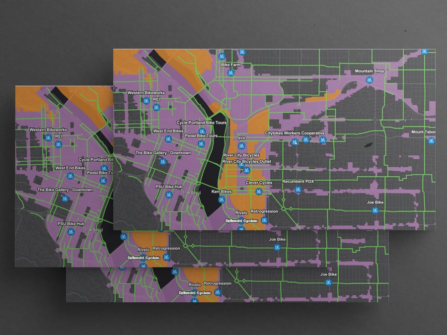
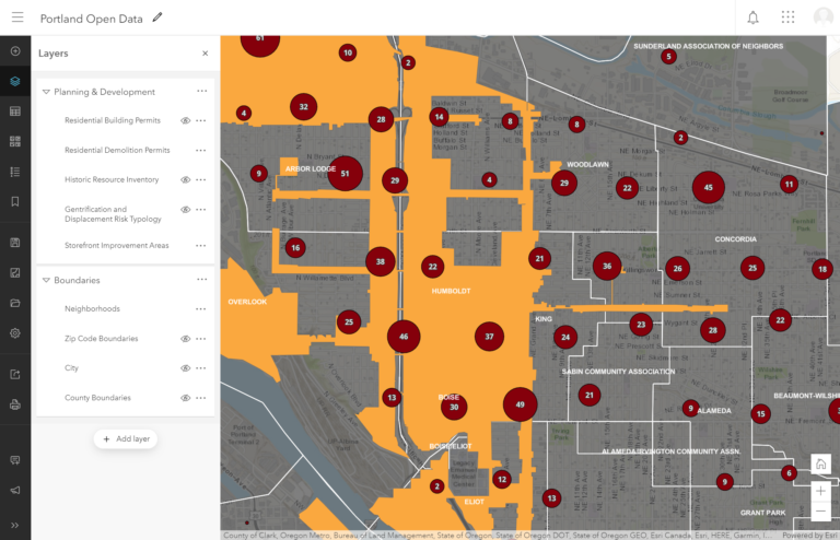
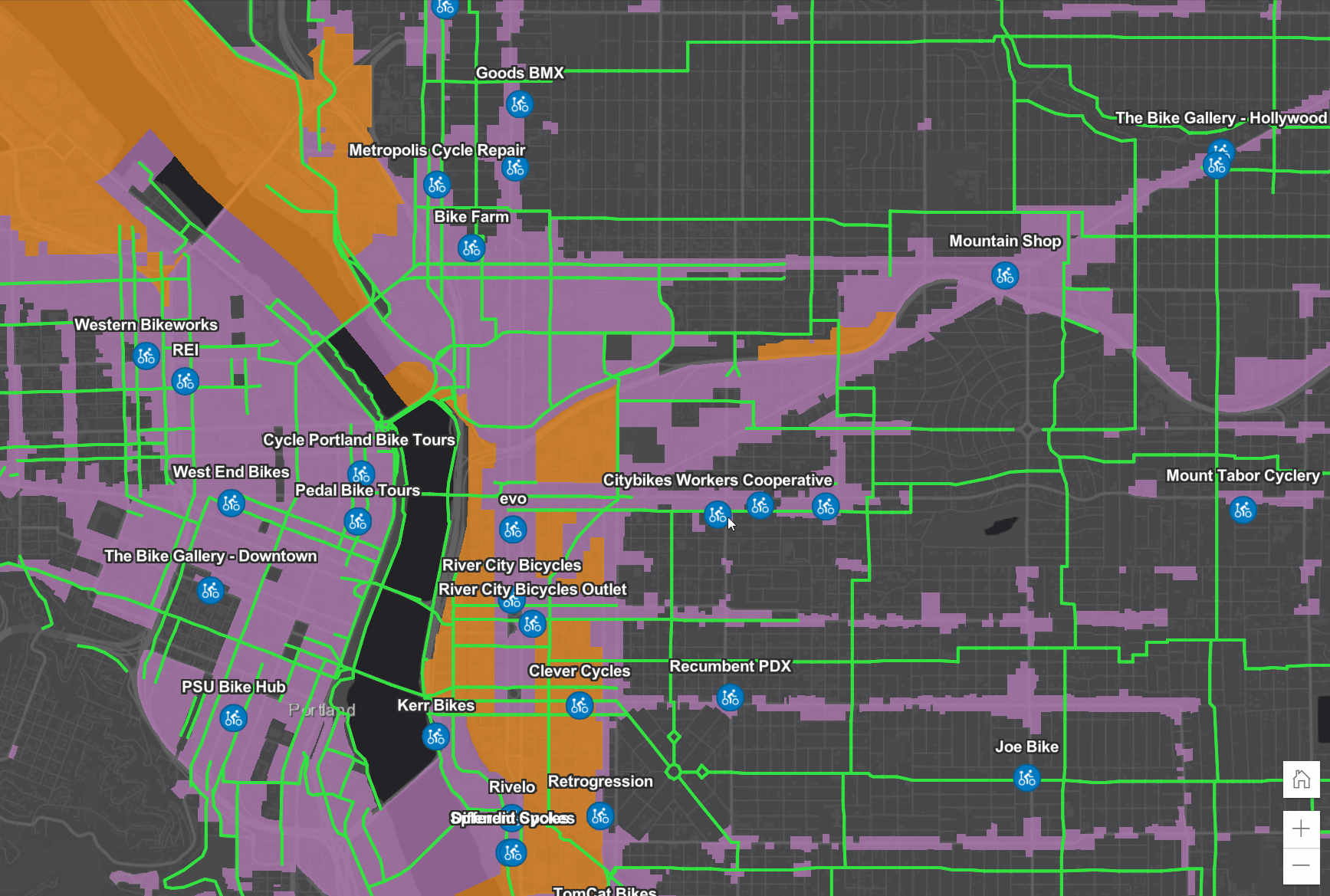
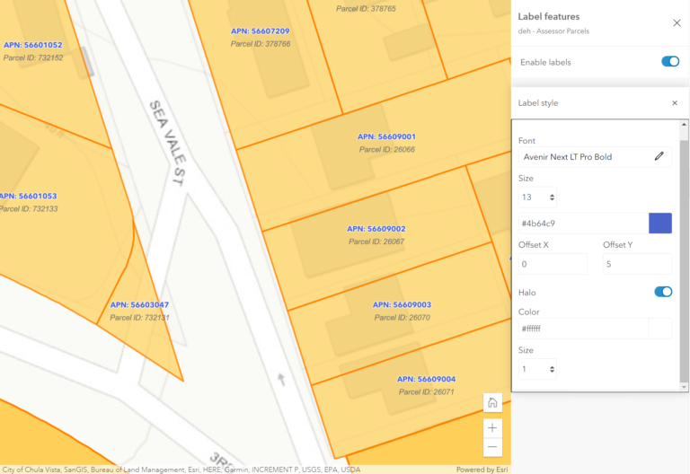
Another much-requested improvement to the ArcGIS Online Map Viewer is the ability to add multiple labels. Labels are a challenging feature, as their placement is dependent on so many factors. An ill-placed label can ruin an otherwise beautiful map. In ArcGIS Online, labels have been second-class citizens until now. We don’t expect ArcGIS Online labels will ever reach Maplex levels, but it’s very nice to see that they’re being given some attention.
Instant preview for map viewer changes
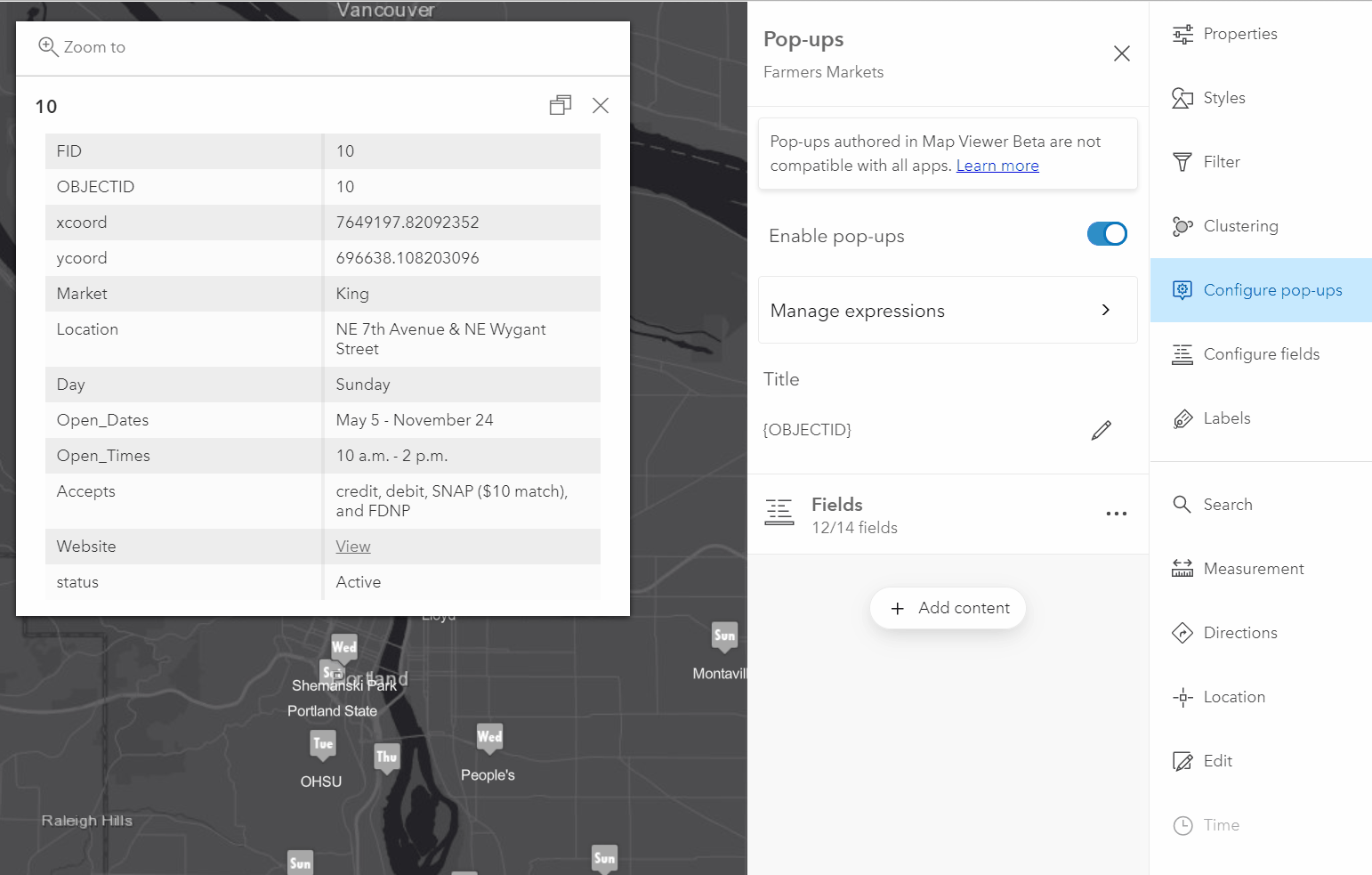
In the new Map Viewer Beta, any changes you make to labels, symbology, styles, filters, etc are immediately reflected on the map. This makes for a much more enjoyable experience editing your maps. And it’s a lot easier to undo a small change if you don’t like it. We especially like the popup instant preview. Now you can see exactly what your popup will look like as you are editing it.
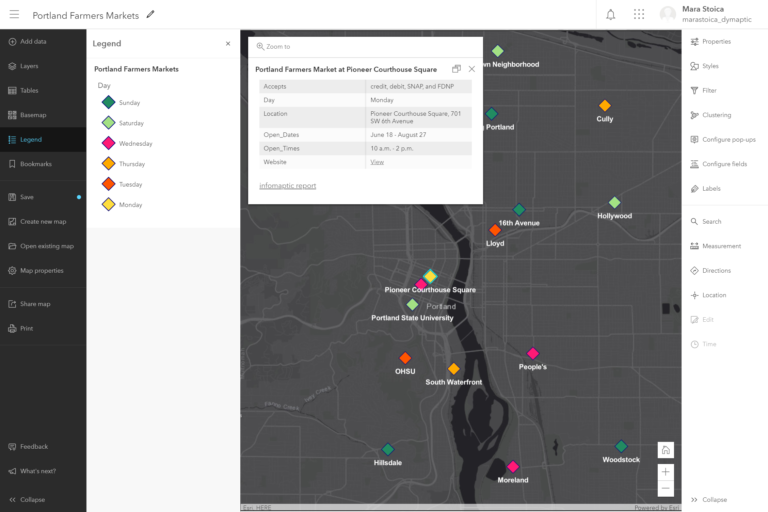
Improved bookmarks
In the new Map Viewer Beta, bookmarks got a huge upgrade. In addition to being able to edit a bookmark’s title, now you can set a thumbnail and edit its extent, scale, and rotation. And in case you were wondering, yes, you can now rotate the map. Because who doesn’t want to look at the world upside down every once in a while.
Browse existing webmaps without leaving the map viewer
Ever had to search for an existing webmap while you were working on one webmap? Yep, so have we, and it can be frustrating. You have to open ArcGIS Online in a new tab, go to content, filter it, and scroll through all the content until you find your webmap. In the new Map Viewer Beta, you can see all existing webmaps in a side panel without leaving the active map viewer! You can even select a webmap to view its properties. Hopefully, we’ll be able to view 2 maps side by side soon as we can in ArcGIS Pro.
Modern look and feel
This may not necessarily count as a feature, but nonetheless, it makes the overall experience of using the map viewer much more enjoyable, and we love that. The new Map Viewer Beta is better laid out, with toolbars and panels that collapse to allow for more map real estate. Given the multitude of supported data sources, adding data is a confusing process. The new Map Viewer Beta adds clarity by separating the data sources.
What's next for the ArcGIS Online Map Viewer Beta?
The ArcGIS Online Map Viewer Classic was a wonderful tool, and it has served the Esri community well for many years. And we are happy to hear that Esri has announced that the Map Viewer Classic will remain in place until the new Map Viewer Beta achieves feature parity. If you’d like to learn more about the development progress and perhaps submit your own ideas visit Esri’s ArcGIS Map Viewer Beta Community Page. And check back with us often as we’ll be posting new content about it.
Related articles


Infomaptic makes it easy to create Feature Reports by giving you a drag and drop interface to position items. One of those items is an image...

In July 2024, Esri’s ArcGIS Web AppBuilder is heading off to the retirement home. But what does that actually mean for you and your apps? We...